|
Popular Birding Places |
|||
 |
|||
|
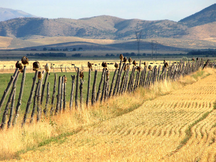
Hawks on Fence Posts on Meadow Lane |
|||
|
(To print a county map along with this information, go to the Print Center) |
|||
|
|
|||
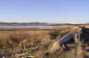
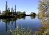 Directions: Take exit 234 (Mona) off I-15 and head West. Turn
left at first stop sign (Mona main street). Drive 1.7 miles and turn right. This
dirt road will go about a mile, cross some railroad tracks, and you'll be at
Burraston Ponds. Directions: Take exit 234 (Mona) off I-15 and head West. Turn
left at first stop sign (Mona main street). Drive 1.7 miles and turn right. This
dirt road will go about a mile, cross some railroad tracks, and you'll be at
Burraston Ponds. |
|||
| Details | |||
|
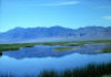
Directions: Go southwest from Callao toward Trout Creek on Deep Creek Mountain Road. Go 4 miles crossing Tom's Creek to the campground. eBird Data: |
Callao |
Fish Springs NWR | |
|||
|
|||
|
|||
|
|||
|
|||
|
Directions: Go southwest from Callao toward Trout Creek on Deep Creek Mountain Road. Go about 10 miles and turn right on the Granite Creek road. When the road forks, go left to the mouth of the canyon. eBird Data: |
Callao |
Fish Springs NWR | |
|||
|
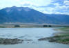
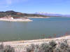
Directions: Take exit 202 of I-15 about 25 miles south of Nephi, or 10 miles north of Sipio. Go south on the exit road about 4 miles to the park. eBird Data: |
Sevier Bridge Reservoir |
Yuba SP -- Oasis Campground
| |
|||
|
Directions: Go southwest from Callao toward Trout Creek on Deep Creek Mountain Road. Go 4 miles to Tom's Creek. eBird Data: |
Callao |
Fish Springs NWR | |
|||
|
|
|||
|
|||
|
|
|||
 |
|||
|
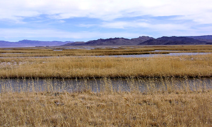
Fish Springs |
|||
|
|
|||