|
Popular Birding Places
Emery County
|
 |
|
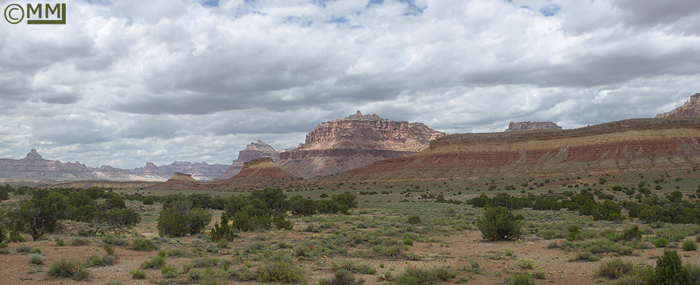
North San Rafael Swell by
Mia McPherson
©Mia McPherson
|
|
(To print a county map along with this information,
go to the Print
Center) |
Buckhorn Wash (See
San Rafael Swell Rec. Site) |
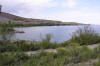
Desert Lake Waterfowl Management Area |
 |
Directions: Drive to the small town of Elmo, then turn south on the Cleveland-Lloyd Dinosaur road, following it until it passes through the
Desert Lake Wildlife Management Area. ~ Robin Tuck
|
|
Details |
|
Ferron
Canyon Road
 |
Directions: From UT 10 in Ferron, take the Ferron Canyon Road (FR 022)
which leads 28 miles to Ferron Reservoir.
|
|
Details |
|
Green River Area
Directions: Green River is located just east of the intersection
of I-70 and Hwy 6, 191.
eBird Data: |
Green River SP |
Green River WTP |
Green River -- Main St River
Crossing |
| Little Valley Rd
(Grand Co.) |
|
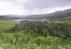
Huntington Canyon
 |
st from Huntington on SR 31. The road
reaches Huntington Reservoir after about 19 miles and connects to the Fairview
Canyon road a few miles after that.
|
|
Details |
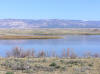
Huntington State Park
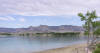 |
Directions: A little ways north of Huntington on Highway 10 turn
west on Mohrland Road and proceed a short distance to the reservoir and state
park.
|
|
Details |
|
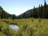
Joe's Valley Road
 |
Directions: Take SR 29 going west out of Orangeville.
The reservoir and valley are about 12 miles away.
|
|
Details |
|
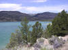
Millsite State Park
 |
Directions: Go 4 miles west of Ferron on Ferron Canyon Road
|
|
Details |
|
San Rafael River
Recreation Site
 |
Directions: From Castle Dale go east on the Green River Cutoff
Road towards Buckhorn Wash. Go about 23 miles to the recreation site on the San
Rafael River at the mouth of Buckhorn Wash.
|
|
Details |
|
|
 |
|
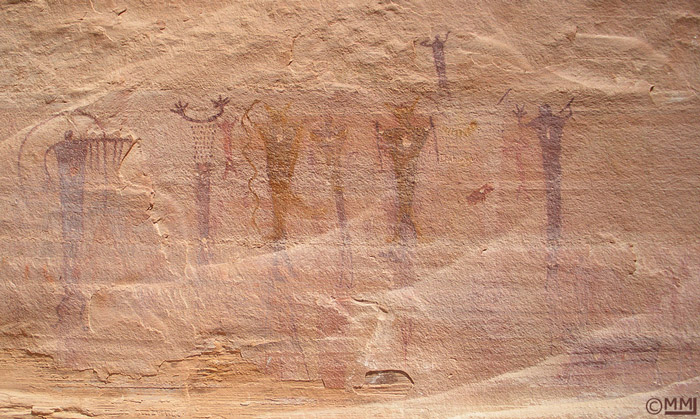
Pictographs of Figures with Holes in Their Chests --
North San Rafael Swell
by
Mia McPherson
©Mia McPherson
|
 |
|
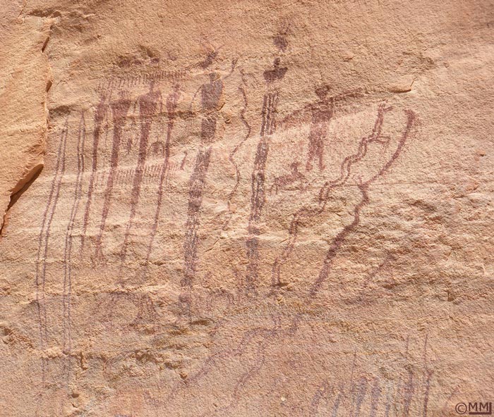
An Intricately Detailed Pictograph -- North San
Rafael Swell
by
Mia McPherson
©Mia McPherson
|
 |
|
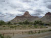
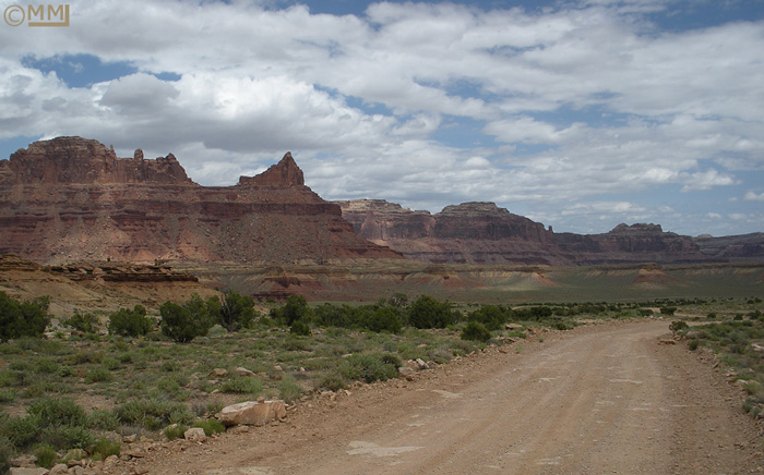
On the Road to Mexican Mountain
by
Mia McPherson
©Mia McPherson
|
|

|
|
|