|
Popular Birding Places |
||||
|
|
||||
|
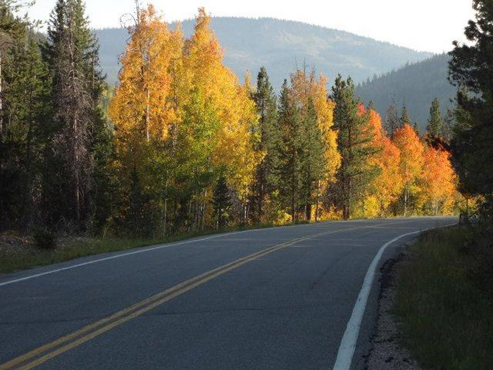
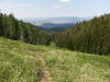
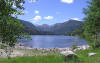
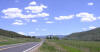
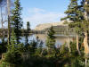
Mirror Lake Highway by Ed
Wittrock ©Ed Wittroci (November
2012) |
||||
|
|
||||
| (To print a county map along with this information, go to the Print Center) | ||||
|
|
||||
 Directions: Go east of Kamas on UT 150 about 29.5 miles to the
trailhead on the left side of the road. Directions: Go east of Kamas on UT 150 about 29.5 miles to the
trailhead on the left side of the road. |
||||
| Details | ||||
|
|
||||
 Directions:
From Kamas, go 6.2 miles east on UT 150 to the Yellow Fork
parking area. The Beaver Creek Trail starts from an inconspicuous spot
across the road from the parking lot. Directions:
From Kamas, go 6.2 miles east on UT 150 to the Yellow Fork
parking area. The Beaver Creek Trail starts from an inconspicuous spot
across the road from the parking lot. |
||||
| Details | ||||
|
|
||||
 Directions:
Go south from Mountain View, Wyoming on WY-410 to Robertson (about 8
miles away) and continue west about 5 more miles to the Blacks Fork Road.
Turn south on Blacks Fork Road and go 14 miles to Meeks Cabin Reservoir,
then another 11 miles to East Blacks Fork campground and trailhead. Directions:
Go south from Mountain View, Wyoming on WY-410 to Robertson (about 8
miles away) and continue west about 5 more miles to the Blacks Fork Road.
Turn south on Blacks Fork Road and go 14 miles to Meeks Cabin Reservoir,
then another 11 miles to East Blacks Fork campground and trailhead.Ebird Data: (nearest) || Clifford F. Graham Res. | |
||||
| Details | ||||
|
|
||||
 Directions:
Take the Coalville exit of I-80 and go northeast to Coalville's
Main St. Turn left and follow Main Street to 100 North then turn right and
follow the curves -- this road becomes Chalk Creak Road. Directions:
Take the Coalville exit of I-80 and go northeast to Coalville's
Main St. Turn left and follow Main Street to 100 North then turn right and
follow the curves -- this road becomes Chalk Creak Road. |
||||
| Details | ||||
|
|
||||
 |
Directions: Go south from Mountain View, Wyoming, on WY-410 for about 7 miles. Instead of following the main road that turns west go straight on WY-246 south for about 8 miles to where the road forks. Take the left fork (FR-013) to the State Line Reservoir about 6 more miles away. As you continue on, you'll pass the Bridger Lake turnoff in about a mile, but continue on FR-072 about 3 miles and you'll reach China Meadows. | |||
| Details | ||||
|
|
||||
 |
Directions:
Go east of Salt Lake City on I-80 into
Wyoming. Take Exit 34 going to Mountain View through Fort Bridger.
In Mountian View go right on WY 410. A couple of miles before the town of
Robertson, take Uinta County road 246 south about 12 miles and turn left on FR
017. Go 4.6 miles to Dahlgreen's Creek. eBird: ( nearest) | Clifford F. Graham Res. | |
|||
| Details | ||||
|
Deer Valley Trails |
||||
|
||||
|
East
Canyon Ranch Road (Jeremy Ranch) |
||||
|
||||
|
|
||||
|
||||
|
|
||||
|
||||
|
|
||||
|
||||
|
|
||||
|
||||
|
Jeremy Ranch
(East Canyon
Ranch Road) |
||||
|
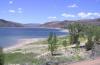
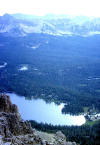
Mirror Lake (In
Duchesne County) |
||||
|
||||
|
|
||||
|
||||
|
|
||||
|
||||
|
(Upper) Provo River Falls |
||||
|
||||
|
|
||||
|
||||
|
|
||||
|
||||
|
|
||||
|
||||
|
|
||||
 |
Directions: Wyoming Route: Go south from Mountain View, Wyoming, on WY-410 for about 7 miles. Instead of following the main road that turns west go straight on WY-246 south for about 8 miles to where the road forks. Take the left fork (FR-013) to the State Line Reservoir about 6 more miles away. | |||
| Details | ||||
|
|
||||
|
|
||||
 |
Directions: Go east of Kamas on UT 150 about 25.7 miles to turnoff to the lake and campgrounds on the left side of the road | |||
| Details | ||||
|
|
||||
 |
||||
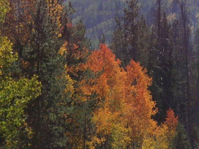
| Along Mirror Lake Highway by Ed Wittrock ©Ed Wittroci (November 2012) | ||||
 |
||||
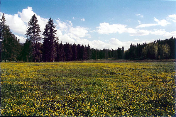
| Sunset over Blanchard by Tim Gorman ©Tim Gorman | ||||
 |
||||
| Gold Hill Road by George Lyman
©George Lyman |
||||
 |
||||
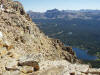
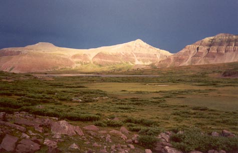
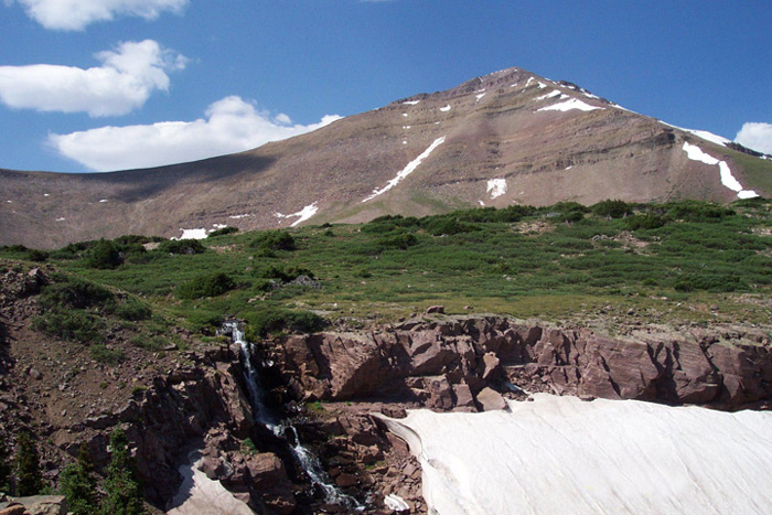
|
Gilbert Peak Waterfall by Tim Gorman ©Tim
Gorman |
||||
|
|
||||
|
|
||||