|
Timpooneke Trail |
 |
|
Timpooneke Trail by Merrill Webb ©Merrill Webb |
|
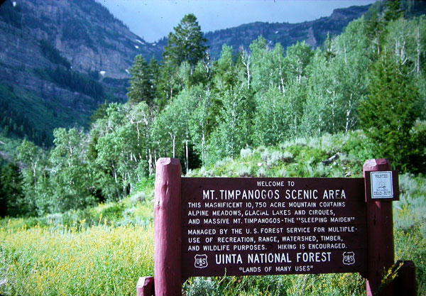
Directions: From the mouth of American Fork Canyon, go 8.4 miles
along the Alpine Loop road and turn right to the Timpooneke Campground.
Go a short distance past the campground host trailer to a parking lot
on the left and the Timpooneke Trailhead. The trail leads to the
summit of Mt. Timpanogos about 9 miles away, but is a nice place to bird as
far up as you'd like to go. eBird Data: |
Trailhead & Camp Ground
|
Timpooneke Road |
|
|
|