|
Timpooneke
Road |
 |
|
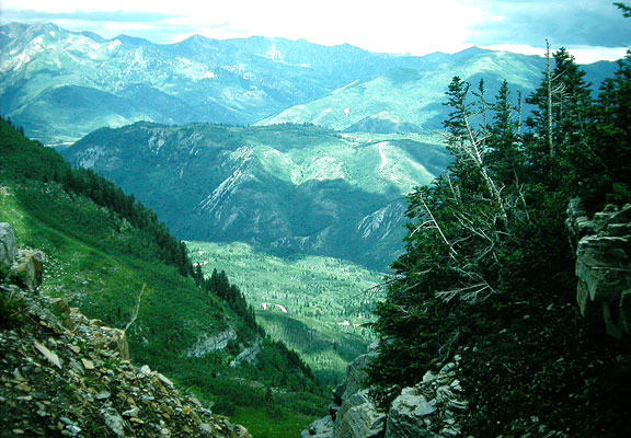
Timpooneke by Merrill Webb
©Merrill Webb |
|
Directions: At Timpooneke campground a dirt road takes off to the north and winds around to the front of Mount Timpanogos. The distance from the mouth of American Fork Canyon to the Timpooneke Campground is 8.4 miles. There is no indication at the campground and trailhead that this is the start of the Timpooneke road. Enter the campground, driving by the pay booth (no fee is necessary) for .8 miles. The road turns to dirt and you have come to a "Y". To the left is the campground and a riparian habitat with a beaver pond. Turning to the right is the Timpooneke road. The travel time to the end and back is 2 to 3 hours. On this rough road, 4 wheel drive not necessary for the first 5 miles, but is needed after that. The road eventually dead-ends above Battle Creek and Cold Creek canyons in Pleasant Grove. Ruffed grouse have been seen along this road. About a mile or so up the road, there's a parking area on the left and a trail that goes to "Julie Andrews Meadows" which can be a good birding place. Red Crossbill, Hermit Thrush, nuthatches, and Townsend Solitaires are species you might find there. (Another good birding place, Timpooneke Trail, is in the same area) eBird Data: |
Timpooneke Road |
Timpooneke Trailhead & CG
|
|
|
|