|
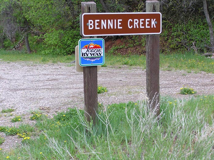
Bennie Creek |
 |
|
Bennie Creek from Payson Canyon by by Staff
Photographer
©utahbirds.org |
|
Directions: (From the Birdseye side):
Travel up
Spanish Fork Canyon, turn right on to Highway 89 just past Billies Mountain,
turn right at the Birdseye church and follow the road through private property
to the forest service boundary. The road then terminates at a trailhead before
the two miles are actually traveled, so if you want a nice walk as well you can
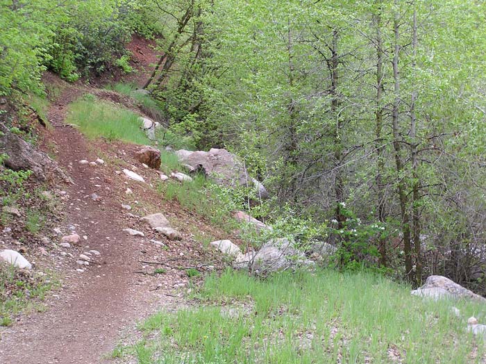
hike up the trail which follows the stream through heavily forested vegetation. Description: A riparian area with conifers on the north facing slope and oak, maple, and mahogany on the south facing slope. Birds: Commonly you can find Western Tanagers, Black-headed Grosbeak, Chipping Sparrows, and Orange-crowned Warblers. eBird Data: |
Nebo Loop | |
 |
|
Bennie Creek Trail by Staff Photographer
©utahbirds.org
|
|
|