|
Payson Lakes / Nebo Loop Auto Tour |
|
 |
|
|
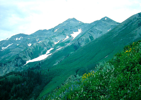
East Slope of Mount Nebo |
|
|
eBird Data: |
Nebo Loop |
Maple Dell |
Payson Lakes |
Purple Martin Colony |
Nebo Bench Trailhead | Directions: It takes 40 to 50 minutes (30 miles) to get from Provo to Payson Lakes (see Payson Lakes Area Map). Travel south on I-15 from the University Avenue junction to the Payson exit (number 250), about eleven and one half miles. Take the exit, then turn south (left) under the freeway and travel for about one mile to the first stop light. Turn left on 100 North Main and travel east for another mile to the top of the hill and turn right onto Peteetneet Boulevard. Petneetneet School, N 40 01.958' W 111 43.812' will be on your right. From this intersection it is 12 miles to the lakes. As the road is quite narrow in many places with many curves, precaution in traveling is advised. Description: Description: Merrill Webb's Description and bird list Field Trip Reports: |
11
Jul 2007 |
13 Jul 2005 | |
|
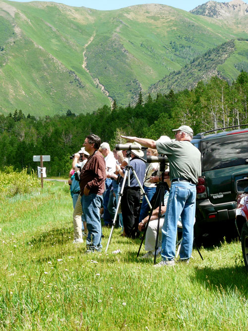 |
Santaquin Canyon Turnoff Optional Route: About 5 miles up the canyon from Payson Lakes is a turn off to Santaquin Canyon (see map). A three-or-four-mile-long graded road connects to the paved road of Santaquin Canyon. It passes a road to Camp Koholowo (a girl scout camp) and through Santaquin Meadows (see picture on the left), which is a good place to stop to see Lincoln's Sparrows, Brewer's Sparrows and maybe a Red-naped Sapsucker. In Santaquin Canyon, be on the lookout for Golden-crowned Kinglets, Brown Creepers and flycatchers. When you come to I-15 take the frontage road north to enter the freeway. |
|
Stopping at Santaquin Meadows |
|
 |
|
|
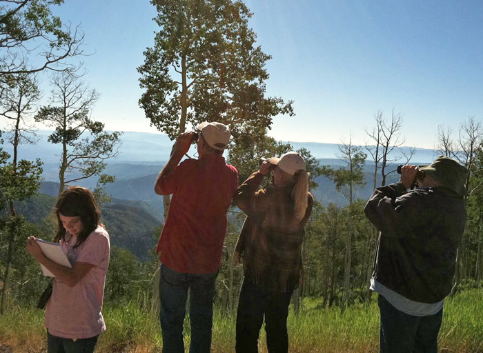
Birding From the Top of the Nebo Loop |
|
 |
|
|
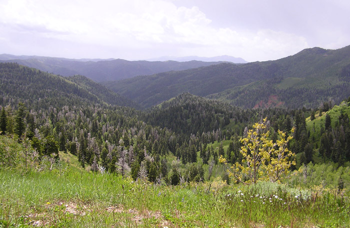
Looking East From the Nebo Loop Road |
|
|
|
|
|
|
|