|
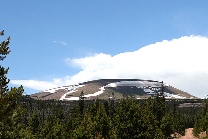
Leidy Peak |
 |
|
Leidy Peak by Jack Binch ©Jack Binch (Jul 2010) |
|
Description: This is a high-elevation birding area is easily reached by a road which climbs to about 11,000 feet ending in a trailhead and camping area. The nearby north slope of Leidy Peak provides probably the most accessible place to find White-tailed Ptarmigan in Utah. Directions: East approach: From about 21 miles north of Vernal on US-191, turn west on FR-018 (The Red Cloud Loop Road). It's about 10 miles to the Oaks Park road (FR-024) and another 5 miles to the junction of FR-043. At the junction with FR-043 take the "Hacking Lake" road. The trailhead is about just beyond Hacking Lake. (The total distance from US-191 is about 24 miles). South approach: You can also connect into the "Red Cloud Loop Road" (FR-018) by going north on 2500 West in Maeser (west of Vernal) which is paved for about 10 miles before becoming FR-044 and connects with FR-018 (Red Cloud Loop Road) after about 8 miles or so. (The junction with FR-018 is about 3 miles south of Oaks Park Reservoir road (FR-024). See instructions above). Specialty Birds: White-tailed Ptarmigan, Red Crossbill, Black Rosy-Finch
eBird Data: |
Leidy Peak -- Uintah Co. |
Leidy Peak -- Daggett Co. | |
 |
|
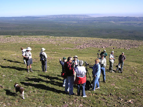
From Leidy Peak by Milt Moody
©Milton G. Moody (Aug 2004) |
 |
|
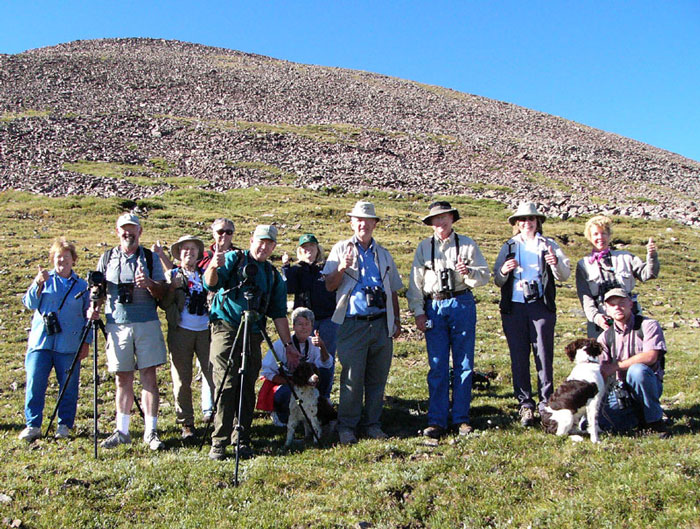
Birders at Leidy Peak by Jim Bailey ©Jim Bailey (Aug 2004) |