|
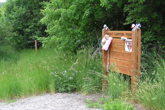
Wolf Canyon Trail |
 |
|
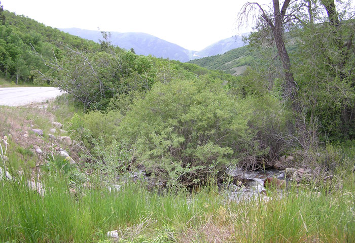
Spring Vegetation by Staff Photographer
©June 2012 |
|
(submitted by Kristin Purdy)
Description: Wolf Canyon Trail offers a mid-elevation hike that passes
through several vegetation zones. The lower reaches are vegetated by scrub oak
and maple; the mid-elevations have both isolated firs and sometimes cool and
thick fir slopes; and the higher areas open up with shrubs, forbs, and
aspen/alders/box elders along the creek. The trail is one-way, 3 miles long, and
gains 1600' of elevation from 6,000' at the trailhead to 7,600' feet at the
summit. The trail offers a gentle climb on a dirt road until about halfway up;
at higher elevations, the trail becomes steeper and dwindles to a path. eBird Data: | Wolf Creek GC | Powder Mountain Rd | Nearby: North Arm Viewing (Natural) Area,
Middle Fork,
Powder Mountain |
|
|
 |
|
Trail Sign by Staff Photographer
©June 2012 |
 |
|
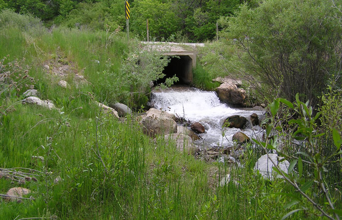
Wolf Creek in June by Staff Photographer
©June 2012 |
|
|