|
Harold Crane WMA |
 |
|
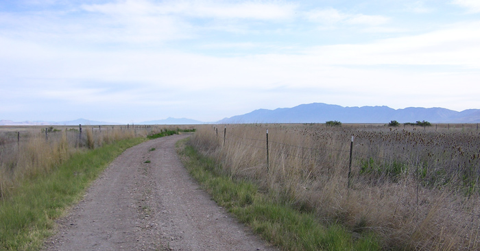
Road Heading North by Staff Photographer
©June 2012 |
|
Directions from the South: Take the 12th Street exit (exit 344)
of I-15 in the Ogden area and go west on Highway 39 to 6700 West and turn
right (north). Go 3 mile or so to the end of the road and you will be at
the wetlands. Birding the area: From the trailhead you will see a hack tower to
the northeast. Look for Peregrine Falcons on it. You can walk along
the old railroad bed east or west. If you go east there is a small pond
about 1 mile that holds a fair amount of birds and waterfowl. ~ Paul
Merola Specialty Birds: Eastern Kingbird, Peregrine Falcon, Prairie Falcon ~ Paul Merola eBird Data:
| Harold Crane WMA |
Harold Crane WMA - Rainbow
Unit Trailhead | |
|
|
 |
|
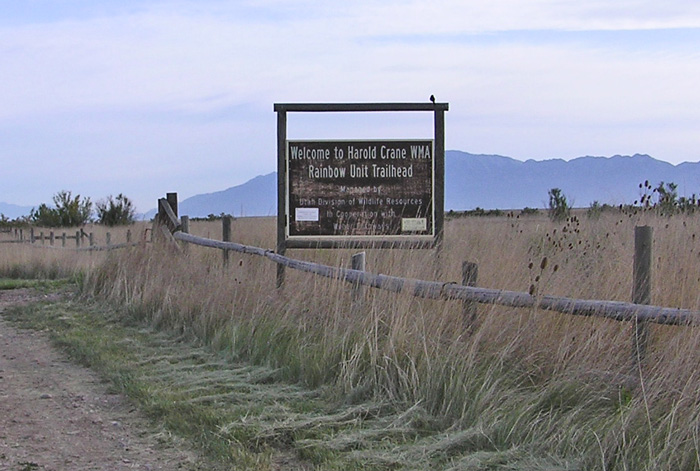
Harold Crane WMA Southern Trailhead Sign by
Staff Photographer
©June 2012 |
 |
|
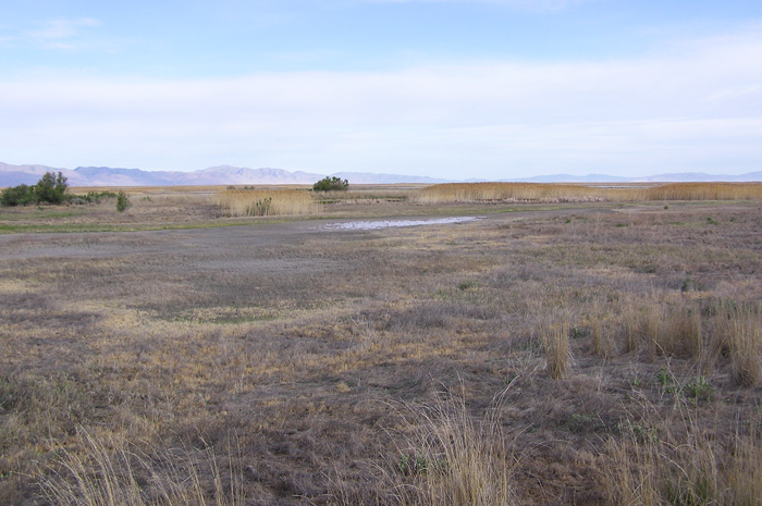
Harold Crane WMA, Looking West by Staff
Photographer
©June 2012 |
 |
|
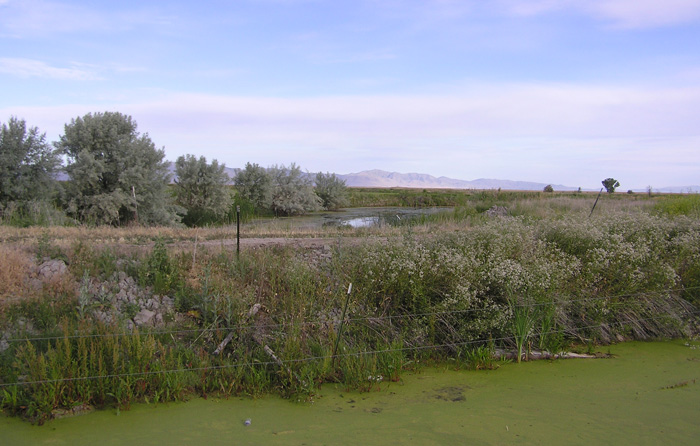
Marshy Area Along the Road to Harold Crane WMA by
Staff Photographer
©June 2012 |
 |
|
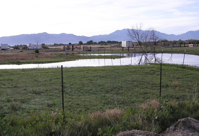
Farmland Along the Road to Harold Crane WMA by
Staff Photographer
©June 2012 |
|
|