|
Hell Hole Pass Road |
|
|
|
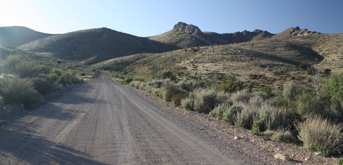
Hell Hole Pass by Oliver Hansen
©Oliver Hansen |
|
~ submitted by Oliver Hansen Directions: Head west on Sunset Blvd in St. George passing
through the town of Santa Clara. This road becomes Old HWY 91. You will enter
the Shivwits Paiute Indian Reservation. Continue straight at the intersection to
Gunlock (Don't go to Gunlock). 5 or 6 miles after the housing area in the
reservation there will be a green sign stating that you have just left the
reservation. Almost exactly 0.9 miles after exiting the reservation there will
be an unmarked gravel road turnoff to the right (north). This road is marked
Hell Hole Pass Rd. and leads up to the high-point of the Beaver Dam mountains -
West Mountain Peak. Specialty Birds: black-throated sparrow, black-tailed gnatcatcher, gray vireo, cactus wren, and probably a good spot to find Crissal thrashers, black-chinned sparrows and other Mojave specialties. eBird Data: | Hell Hole Pass Rd (aka Beaver Dam Mtn Rd) | Utah Hill | Nearby: Utah Hill,
Gunlock Reservoir,
Ivins Reservoir
|
|
|