|
Beaver Dam Slope
|
 |
|
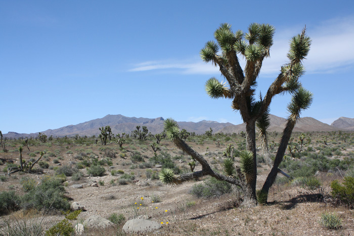
Woodbury Study Area by Oliver Hansen -
©Oliver Hansen (May 2011) |
|
Directions: [Because this is a remote, not well-signed place, it is advisable to follow these instructions precisely, noting the mileages as you go]. Take the Bluff Street Exit (Exit 6) of I-15 in St. George and follow Bluff Street as it goes north until you come to Sunset (at a very confusing intersection). Go left (west) on Sunset (SR-91) through Santa Clara, past Ivins and Shivwits. Shortly after crossing the Santa Clara River the road forks. Take the left fork (the right fork goes to Gunlock Reservoir) and proceed on SR-91 for 11.7 miles to a place known as Castle Cliffs, for the prominent rock outcrops (on your left). Turn right onto the gravel road marked by a small sign for "Lytle Preserve" and a larger sign for "Big Cottonwood Game Ranch." From this point to Lytle Ranch (about 11 miles down the road) is Beaver Dam Slope. About 2 1/2 miles down the road there is a turnoff going north (right) that takes you to Welcome Spring which is about 1 1/2 miles down that road. (combined directions from Rich Fridell, Marilyn Davis and Bill Hunter and adapted for Beaver Dam Slope and Welcome Spring) Description: (See the Wasatch Audubon write up for Joshua Tree Natural Area). Birds: Scott's Oriole, Cactus Wren eBird Data: |
Beaver Dam Slope (incl. Lytle
Ranch Road) | Lower
Beaver Dam Wash (not Lytle Ranch) | Nearby: Welcome Spring, Lytle Ranch, Utah Hill | Map |
|
 |
|
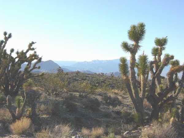
On
the trail to Lytle Ranch by James Lofthouse - 9 Mar 2003
©James Lofthouse |
|
|