|
Mill Hollow Reservoir |
 |
|
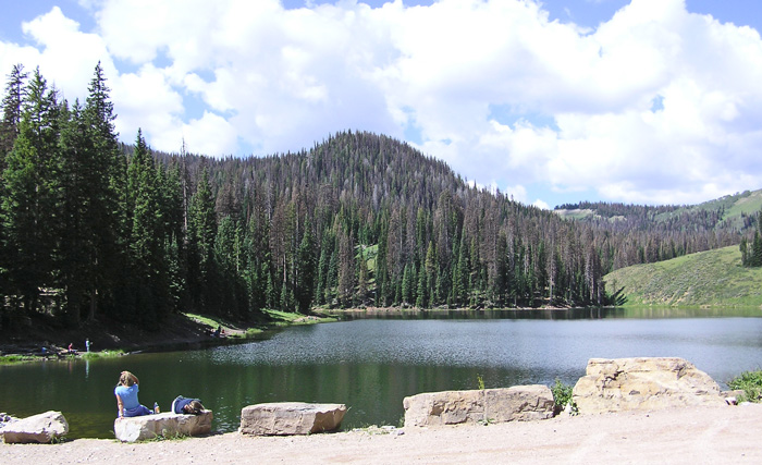
Mill Hollow Reservoir by Staff Photographer ©July 2012 |
|
Description: The 3-mile road to the reservoir goes along a stream lined with good riparian habitat especially from the Guard Station (2 miles up) to the reservoir. The small reservoir lies between the firs on the north-facing slopes and the aspens on the south-facing slopes. (While in the area, you might want to visit the Wolf Creek Summit area, 4 miles from the Mill Hollow turnoff up the mountain road. You can also continue up the canyon to the Duchesne Ridge Road or to the Lake Creek road that takes you to Heber). Directions: The turn off to Mill Hollow Reservoir is located along US 35, 14 miles east of Francis and 20 miles west of Hanna. Go about 3 miles from the sign to Mill Hollow Reservoir on a good dirt/gravel road. eBird Data: | Mill
Hollow | |
 |
|
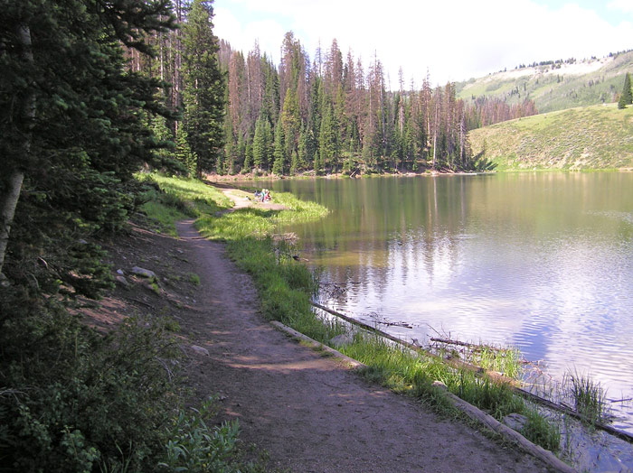
The Trail along the Shoreline by
Staff Photographer
©July 2012 |
 |
|
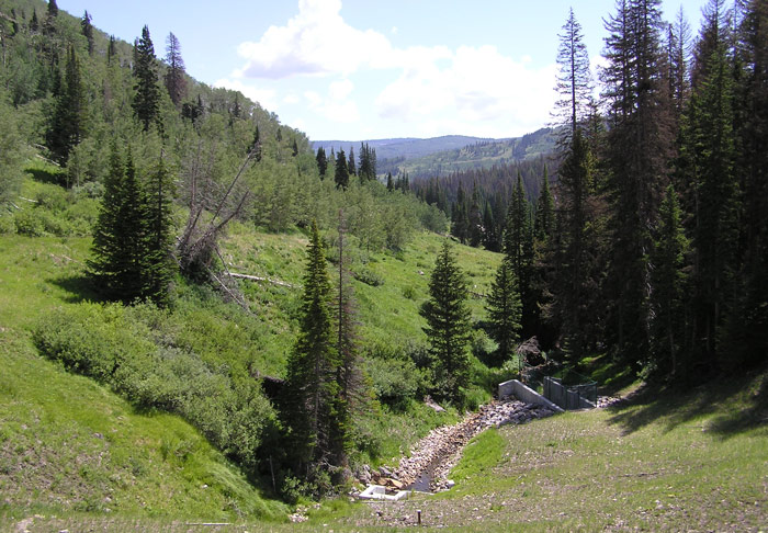
Looking East from the Dam by Staff
Photographer
©July 2012 |
 |
|
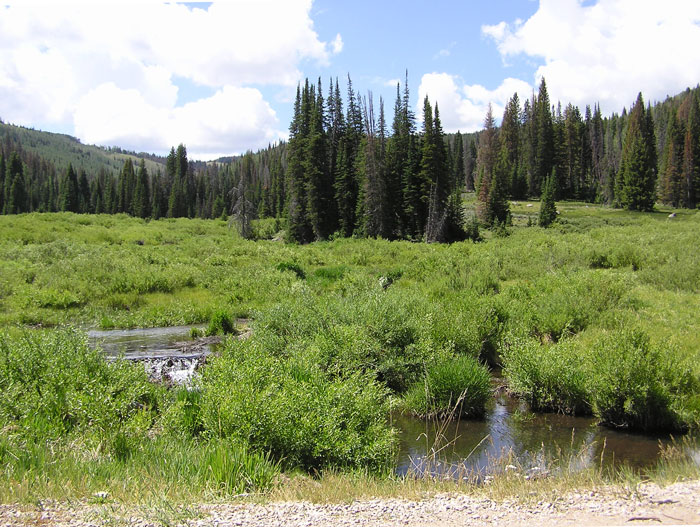
Wet area about a mile below the reservoir by Staff Photographer ©July 2012 |
|
|