|
Jordanelle Reservoir |
 |
|
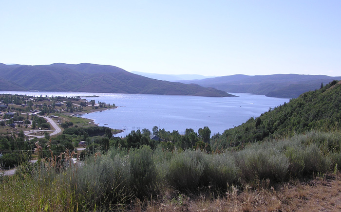
Jordanelle Reservoir from US Highway 40 by Staff Photographer ©July 2012 |
|
(Updated July 2012) Directions: Jordanelle Reservoir is east of US 40 between Silver Creek Junction and Heber. Description: The Jordanelle State Park is divided into the Hailstone
section on the west shore and the Rock
Cliffs section in the southeast end of the reservoir. The Hailstone
section has a marina and lost of pavilions, camping areas and is a popular
area for fishing, swimming camping and hiking. eBird Data: |
Jordanelle Reservoir SP |
Rock Cliffs SP |
Jordanelle Reclamation Area
| |
 |
|
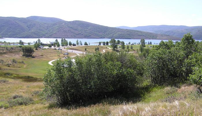
Hailstone Facilities of the State Park by
Staff Photographer
©July 2012 |
 |
|
Hailstone Beaches by Staff
Photographer
©July 2012 |
 |
|
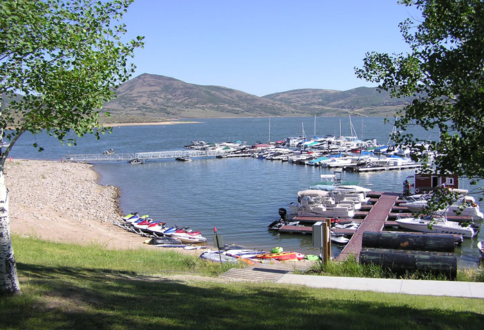
The Marina by Staff Photographer
©July 2012 |
 |
|
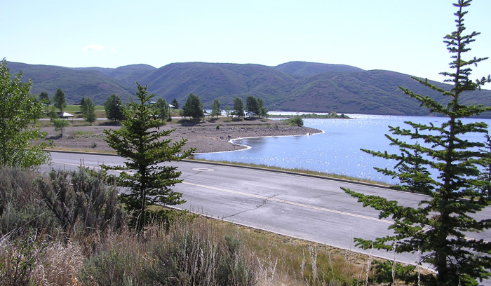
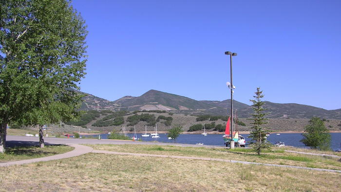
North End of the Reservoir by Staff Photographer ©July 2012 |
|
|