|
Diamond Fork Canyon |
 |
|
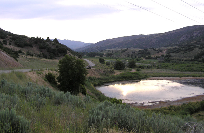
Morning at the Mouth of Diamond Fork Canyon by Staff Photographer ©utahbirds.org (July 2007) |
|
~ Provided by Robin Tuck with some additions by others (see Diamond Fork Canyon Area Map) Directions: To get to Diamond Fork Canyon from Provo, drive south on I-15 to Exit number 258 and travel east on highway 6 toward Spanish Fork Canyon, taking twenty-five to thirty minutes. Take the turn-off to Diamond Fork Canyon exit, which is 11. 5 miles east of I-15. You are now on Forest Service Road #029 at N 40 01.780' W 111 30.410'. Description: Merrill Webb's Description Birding: Begin your birding at the pond and old ranch house to your right just after passing over the cattle guard [see picture above]. Expect to see Coots, Pied-billed Grebes, Belted Kingfisher, blackbirds and swallows at the pond. Around the ranch house look for American Goldfinch, Yellow Warbler, and House Finch. The marsh to the north could have Soras and Virginia Rails. Willow Flycatchers have been observed in the marsh to the southeast of the house. Look and listen for Lazuli Buntings and Spotted Towhees in the oak brush on the side hill to the west of the house. As you proceed up the canyon, pulling off the road at turnouts, look over the stream for ducks, Great Blue Heron, Snowy Egret, Killdeer, Spotted Sandpiper and swallows. Bank Swallows nest in holes in the banks along the stream. The U.S. Forest Service is attempting to develop some wetland habitat about two miles up the canyon. If this is successful there will be more waterfowl and shorebirds to watch for. In the meantime, don't neglect the foothills on the left side of the road. Watch for Spotted Towhee, Black-capped Chickadee, Lark Sparrows, and Mountain Bluebirds. Raptors seen in the canyon include Golden Eagle, Red-tailed Hawk, Northern Harrier and American Kestrel. At about mile 3.8 there's a bridge and road across the river on the right (east) side of the main road which is a good place to quickly check. ~ Milt Moody eBird Data: |
Diamond Fork Canyon |
Diamond Fork Campground
(Diamond Campground) | Field Trip Reports: |
19 Jul 2008 | |
 |
|
Brimhall Canyon Road by Staff
Photographer
©utahbirds.org (July 2007) |
|
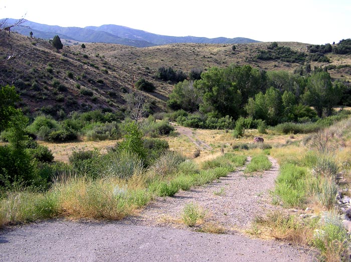
About 4.5 miles up the canyon from the cattle guard is a turnoff to Brimhall Canyon
[see above].
The willows along the stream and the big cottonwoods in the flat provide excellent habitat
for Gray Catbird, Fox Sparrow, Song Sparrow, Yellow-breasted Chat, Downy
Woodpecker and Common Nighthawk. Barn Swallows and Tree
Swallows are also common here. |
 |
|
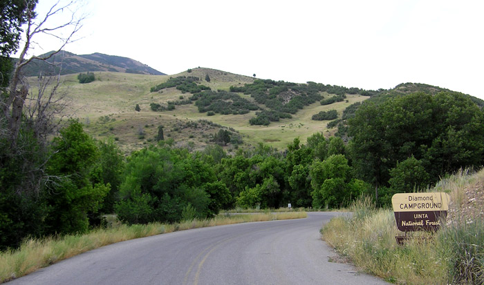
Entrance to the Diamond Campground
by Staff Photographer
©utahbirds.org (July 2007) |
|
At the 5.5 mile point is the Diamond Campground [a fee area for both
overnight and day use]. In this area, look for Northern Flicker, Western
Wood Peewee, Yellow Warbler, Black-headed Grosbeak and an occasional
Hermit Thrush. |
 |
|
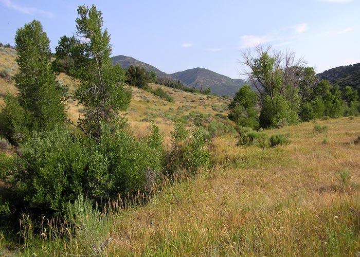
Along Wanrhodes Creek by Staff
Photographer
©utahbirds.org (July 2007) |
|
A few hundred feet up the road from Diamond Campground is a left turnoff which goes to Wanrhodes. There are several undeveloped camping areas and a small stream along this somewhat bumpy dirt road which, after about 4 miles, continues on as a private road. (Might be something to explore if the sites along the main road are a bit busy on a weekend or holiday). ~ Milt Moody At about the 8 mile point is Monk's Hollow. (see
the write-up by Merrill Webb) |
 |
|
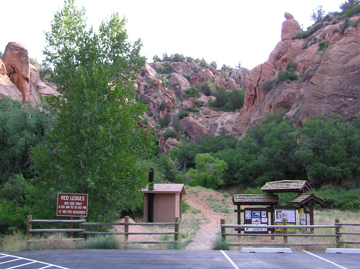
Red Ledges by Staff
Photographer
©utahbirds.org (July 2007) |
|
At about mile 9 is the Red Ledges site with its interesting red rock
formations and restroom facilities. ~ Milt Moody |
 |
|
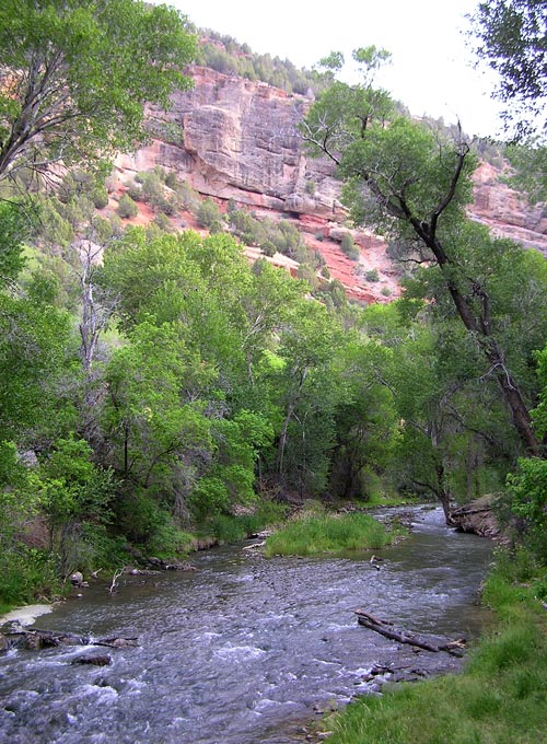
From the Bridge at Dry Canyon
|
|
At about mile 9.8 is Dry Canyon campground and trail head with
restroom facilities, some good hiking trails and free camping. ~ Milt
Moody The road past the campgrounds narrows and climbs to the mountain tops. The main roads to Hobble Creek or Sheep Creek are passable by automobile in the summer months.
|
|
|