|
Popular Birding Places |
||||||
 |
||||||
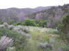
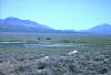
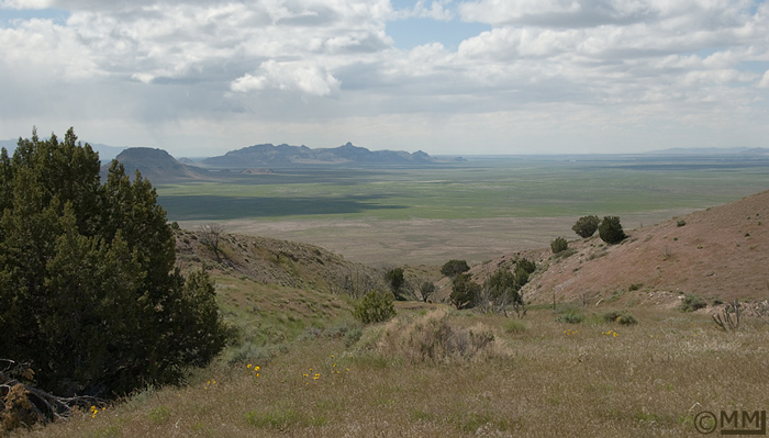
| High Above Simpson Springs by Mia McPherson ©Mia McPherson (2011) |
||||||
Directions: Go south of Wendover, Nevada on NV Alt-93 about 17 miles and turn east on the graveled road to Blue Lake, about 5 miles away at the end of the road. eBird Data: |
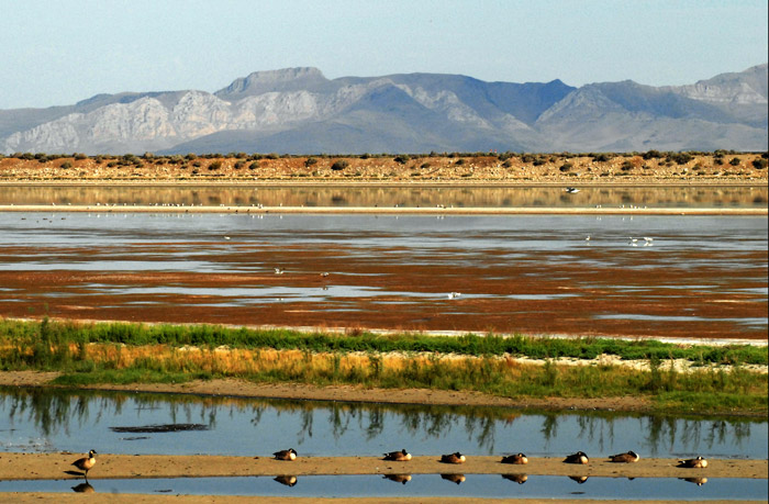
Blue Lake & Salt Springs WMA
| |
||||||
|
||||||
|
||||||
|
||||||
|
Deep Creek Mountains (northern part) Directions: Go south of Wendover, Nevada on NV Alt-93 about 30 miles and turn east on the road to Ibapah, Goshute and Gold Hill. Go to the intersection that goes left to Gold Hill and right to Ibapah. You can bird the road-triangle from this intersection to Gold Hill and to the intersection 4 miles north of Ibapah. Specialty Birds: Not well known, but you could expect some unusual birds during winter and migration times. eBird Data: |
Callao (just over the
border in Juab Co.) | |
||||||
|
||||||
|
||||||
|
||||||
|
||||||
|
||||||
|
||||||
|
|
||||||
|
|
||||||
|
|
||||||
|
|
Directions: Take Exit 84 and turn south onto the frontage road. Immediately turn right across the railroad tracks and got about 2 miles to a fork in the road. Take the left fork for about 3 miles to the gravel pits. | |||||
|
|
||||||
|
|
Directions: From I-80 about 40 miles west of the Salt Lake City International Airport, take Exit 77 going north (south goes to Dugway on UT 106) and immediately turn left (west) and go about 1/3 of a mile and turn right. Take the right fork which is the road going into Timpie Springs WMA. | |||||
|
|
||||||
 |
Directions: Go west of Grantsville on UT 138. About 0.6 miles after the road turns north, turn left on West Canyon Road. About 5 miles up this rough road is the West Canyon Trailhead. | |||||
|
|
||||||
 |
||||||
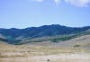
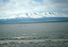
| Lake Point by Ryan Houston ©Ryan Houston |
||||||
 |
||||||
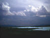
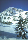
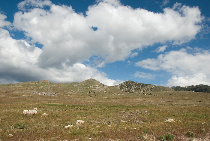
| Billowing Clouds above Simpson Springs by Mia McPherson ©Mia McPherson (2011) |
||||||
 |
||||||
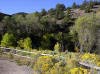
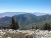
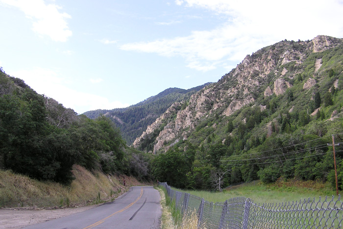
| Middle Canyon by Milt Moody ©Milton G. Moody |
||||||
|
|
||||||