|
Popular Birding Places |
||||||||||||||||||
 |
||||||||||||||||||
|
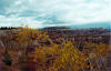
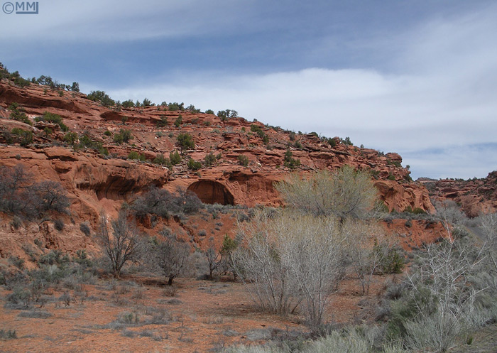
A View from the Burr Trail
by Mia McPherson ©Mia
McPherson |
||||||||||||||||||
|
(To print a county map along with this information, go to the Print Center) |
||||||||||||||||||
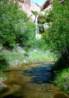
Calf Creek Falls Trail (to Lower Calf Creek Falls)
Directions: The recreation area is on UT 12 about 15 miles east of Escalante and 12 miles south of Boulder. Birding: The bushes and trees around the campground area and mouth of the canyon are good for birding as well as the Calf Creek Falls Trail which take off from the parking lot a leads to the Lower Calf Creek Falls, 3 miles away. eBird Data:
| Grand Staircase-Excalante
NM -- Lower Calf Creek Trail |
-- Calf Creek CG | Cottonwood Canyon (Kane County) (Accessed by Cottonwood Canyon Road south of Cannonville, Garfield County, but is actually in Kane County) Escalante State Park (see Wide Hollow Reservoir)
Directions: Go east form Escalante for 5 miles on UT 12 and turn right at the sign for Hole-in--the-Rock. Go 10.4 miles on Hole-in-the-Rock Road to the sign for Harris Wash which is 5.9 miles from this intersection. eBird Data:
| Grand
Staircase-Escalante NM -- Harris Wash |
-- Halfway Hollow to Harris
Wash | Directions: From Torrey in Wayne Co. go south on Hwy 12. (This road goes to Boulder, Escalante, Bryce Canyon NP and ends at the intersection with Hwy 89 about 6 miles south of Panguitch). [You can also start at the other end]. eBird Data:
| Boulder Mountain
(Garfield Co. | --
Overlook | -- Wildcat
Meadow | -- Oak Creek
| Kodachrome Basin State Park (Kane County)
Starr Springs [Utah Birding Trails] Directions: Go south from Hanksville about 25 miles on UT 95 and turn on UT 276 which goes to Bullfrog Marina. Go about 18 miles and turn right on the Clay Point Road. Starr Springs is about 4 miles down the road. eBird Data:
| Henry Mtns -- Starr
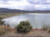
Springs CG | Directions: Go west from Tropic about 8 miles on UT 12. 2 miles past the intersection with UT 63, turn left on the King Creek Campground road. Go 7 miles to Tropic Reservoir. eBird Data:
| Tropic Reservoir |
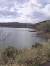
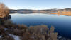
Wide Hollow Reservoir (see Escalante State Park)
|
||||||||||||||||||
|
|
||||||||||||||||||
 |
||||||||||||||||||
|
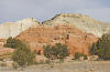
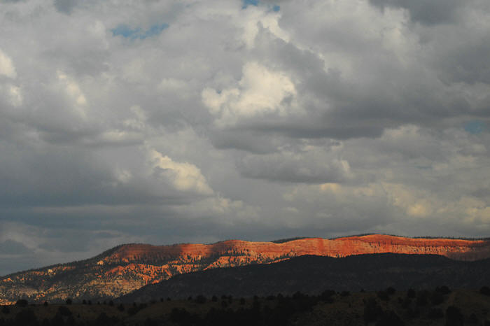
Red Cliffs East of Hatch by
Ryan Houston ©Ryan
Houston |
||||||||||||||||||
|
|